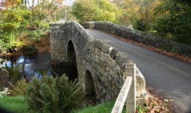
Spara Bridge
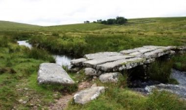
Clapper bridge at Teignhead
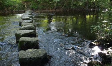
Stepping stones across the Teign near Dunsford
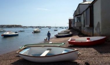
Shaldon beach
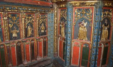
Screen in Bridford church
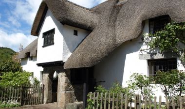
Wreyland Manor, Lustleigh
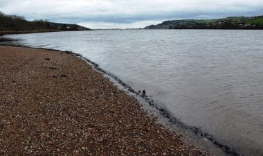
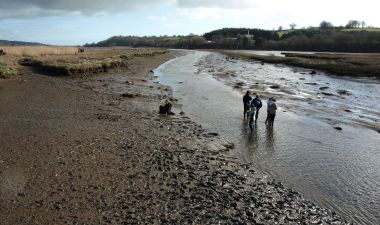
The estuary at Luxton's Steps
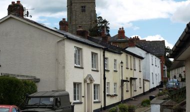
Cottages in Dunsford
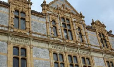
The Passmore Edwards Library, Newton Abbot
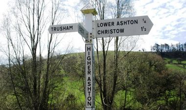
Road sign at Higher Ashton
River Bovey at Parke
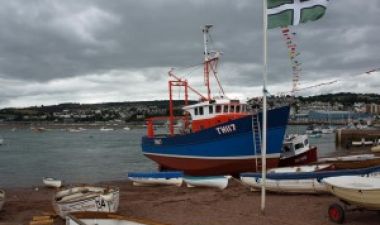
Fishing boat under repair on Teignmouth river beach
The Teign at Hackney
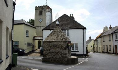
Denbury: the crossroads featuring the Cistern
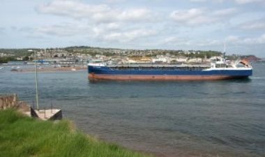
Bulk carrier entering Teignmouth harbour
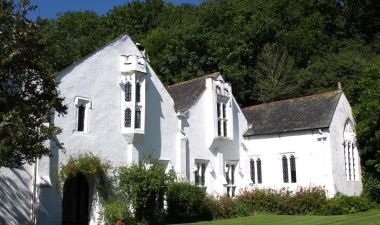
Bradley Manor
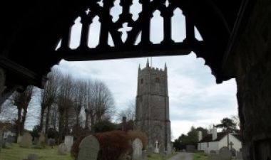
Kingsteignton Church
Railing decoration, Moretonhampstead
The subject of this website is the geography and history of the River Teign catchment area. It is the outcome of a personal project, started in 2009, to find out more about the area into which I moved ten years earlier. I cannot claim that it is in any way comprehensive – rather it includes information and personal observations on subjects that I have encountered and found interesting, sometimes triggered by photographs I have taken.
I’ve always believed that some knowledge of the history of a place can provide an understanding of the way it is now. And of course the history of a locality is closely linked to and influenced by its geography – which can include anything to do with space and place, including landforms, climate, flora and fauna, the health and well-being of the population over time, the built environment, economic activities, and the inter-relationships between these factors.
I also suggest that getting to know the district in which we live is an important element of re-localisation, which is becoming increasingly desirable as energy costs continue to rise, and disruption to ecosystems and climate from global warming, ocean acidification and soil depletion puts pressure on industrialised food production and distribution. From now on people living in each local community or bio-region will benefit in various ways if they can come together to meet more of their everyday needs locally, and the resulting improvements in social cohesion should also improve the well-being of those involved.
When embarking on the project I decided that it should focus on a clearly defined land area, and the catchment of a significant local river seemed appropriate. The candidates included the Exe and the Dart, but the Teign is more local to me, and it was clear from an initial survey that the catchment area of the Teign is remarkably varied and interesting for its size.
Originally it was just going to be a collection of photos plus captions, and I thought it might end up as a book. But as I started to seek out information to amplify the pictures, it turned into more of an illustrated essay, and I realised that it would need to be quite a glossy book that would be expensive to produce, and that publishing via the internet was going to be quicker and easier, and would in any case probably be seen by more people.
Site structure
The material is mainly organised by geographic area, from the source of the Teign to its mouth. The ‘Source Area’ page covers the area where the river rises as far down as Chagford Bridge, plus the area north of the Teign almost up to the A30 trunk road, which is drained by the Blackaton Brook. ‘Teign Gorge’ describes the valley from Chagford to Dunsford, and the area drained by the Fingle Brook. ‘Teign Valley’ is the section between Dunsford and Kingsteignton, including the north eastern section of the catchment, drained by the Reedy Brook and Sowton Brook . There are separate sections for the two main tributaries – the Bovey valley has its own page, and the Lemon valley is combined with Newton Abbot. Also, three subjects of particular relevance to the Teign catchment area are covered – the Teign Valley Railway, and the Ball Clay industry and Stover Canal. The first is on a separate page, the last two are combined with Kingsteignton in the page called ‘Clay & Canal’. ‘Teign Estuary’ and ‘Teignmouth’ are self-explanatory. The ‘Southern Area’ page covers the catchment area south of the estuary, which is mainly drained by the Aller Brook. There is also an ‘Overview’ page by way of introduction to the area.
What it isn’t
This site does not contain information about local tourist attractions, events, or accommodation. Owners of websites on these subjects are, of course, welcome to link to this site to provide their customers or enquirers with access to background information on the area. I have included my own Links section, where I list and comment on sites that complement and extend the information herein.
Photographs
Unless otherwise noted, the photographs on this website were taken by me and I own the copyright for them. They can be downloaded and re-used under the terms of a so-called Creative Commons Attribution-NonCommercial-ShareAlike licence, which essentially means that they can be used for non-commercial purposes in return for attribution. The same conditions apply to all the text. (Details of this licence can be found at http://creativecommons.org/licenses/by-nc-sa/2.5/ ) Some of the relatively small number of pictures included on the site taken by other people are also available for use via Creative Commons licences and in these cases the copyright holder is noted, but ownership of a few others are unknown to me and I hope there are no problems in including them here – this is a non-revenue earning website provided for information and general interest only.
Sources
The textual information has been derived from a variety of sources, some of which are listed in the Links and Sources page. I haven’t provided references for specific items of information, but I’d be happy to add references where appropriate on request, to put right anything that’s questionable or incorrect, and to fill in gaps from recommended new sources.
I hope you enjoy the website.
(I’m afraid I’ve now removed the Contact page as I’m fed up with the constant stream of spam and rubbish messages I receive, presumably because there is software that searches for such pages and email reply addresses on WordPress sites, and then automatically generates messages that are usually selling services and products in which I have absolutely no interest.)
If you would like to get in touch about the contents of this site I am Chair of Dawlish Local History Group and a contact email address can be found on that website.
David Gearing